
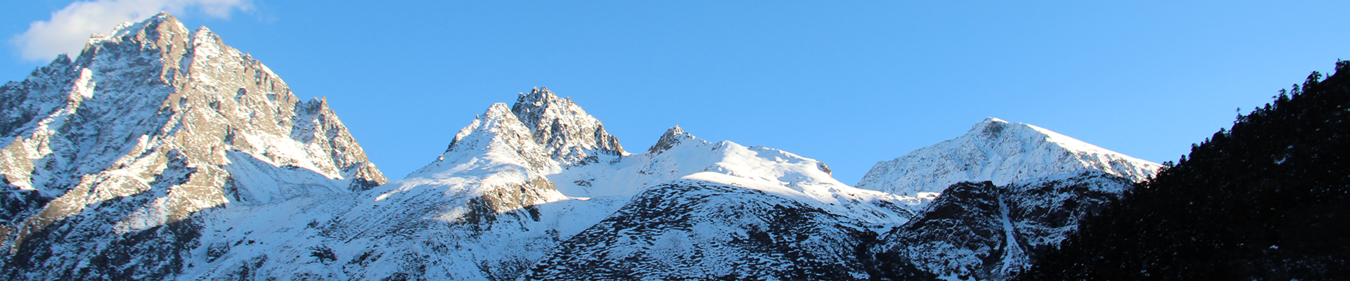

The Tibet Plateau, the world’s highest inhabited terrain, formed millions of years ago due to processes in Earth’s interior. Understanding its uplift is crucial to determining the evolution of the Asian monsoon regime and alpine biodiversity.
Researchers concur that the northern Tibet Plateau attained its highest paleoelevation—uplift in the geological past—during the Miocene epoch. While abundant paleoelevation evidence exists for the southern Tibet Plateau, there is considerable discrepancy in northern Tibet Plateau records in this regard. Therefore, it remains poorly understood.
To address this gap in knowledge, researchers led by Prof. FANG Xiaomin from the Institute of Tibetan Plateau Research (ITP) of the Chinese Academy of Sciences have recently created a biological paleoaltimetry based on pollen records to estimate the past elevation of this region.
They conclude that the northern Tibet Plateau experienced strong uplifts during the Middle to Late Miocene epochs. The plateau formation resulted in rainfall pattern changes, which were confirmed through simulations.
Their findings were published in Science on Dec. 8.
Prof. FANG’s group devised a new paleoaltimetry to quantitatively estimate past elevation. The group’s method involves the use of pollen records for four montane conifers, Tsuga, Podocarpus, Abies, and Picea.
“The growth and distribution of these trees are sensitive to changes in elevation. While the first two grow at middle elevations, the last two grow at higher elevations. Therefore, the ratio of the pollen content of Tsuga plus Podocarpus to all the conifers (TP/TPAP) can reconstruct paleoelevation,” said Prof. FANG.
The researchers first studied the TP/TPAP ratios of surface pollen samples from Asia. The pollen from the lower mountain regions in southeastern Asia had high values, indicating a dependence on altitude. The TP/TPAP ratios decreased with elevation but increased with geological time. This correlation was used to determine the paleoelevation of the northern Tibet Plateau.
The researchers then conducted pollen analyses on samples from the Qaidam Basin in the northern Tibet Plateau. They chose four sites—two each in Eastern and Western Qaidam. The reconstructed paleoelevation record shows that the areas adjacent to the two regions rose rapidly, by ~2,400 meters and ~3,200 meters, respectively, in the Middle Miocene (15 million years ago) and Late Miocene (11 million years ago) epochs. Therefore, the northern Tibet Plateau experienced strong uplifts during the Middle to Late Miocene and attained its present elevation around 7 million years ago.
Using these estimates, the researchers have additionally put into perspective current evidence on the rise of the northern Tibet Plateau. They argue that the phenomenon was almost simultaneous with other tectonic events within and around the Tibet Plateau. These findings support the prevalent theoretical models of Tibet Plateau formation.
The uplift of the Tibet Plateau would have affected atmospheric water vapor transport and resulted in rainfall pattern changes. The researchers found a decrease in annual precipitation in the northern Tibet Plateau through simulations. This decrease was also observed in pollen data from the grasslands, which showed that a wetting-to-drying transition occurred in Eastern Qaidam 8 million years ago.
The simulations further predicted increased rainfall in the Himalayas and Hengduan Mountains. Such an increase would have boosted the diversity of vegetation and reptiles in the region.
“In fact, the northern Tibet Plateau uplift has contributed substantially to Asian climate change and biological evolution,” said Prof. FANG. “This comprehension may further aid in solving paleoelevation history and the uplift process of the Tibet Plateau and investigating the development of the present Asia monsoon regime and the acceleration of the evolution of alpine biodiversity.”