
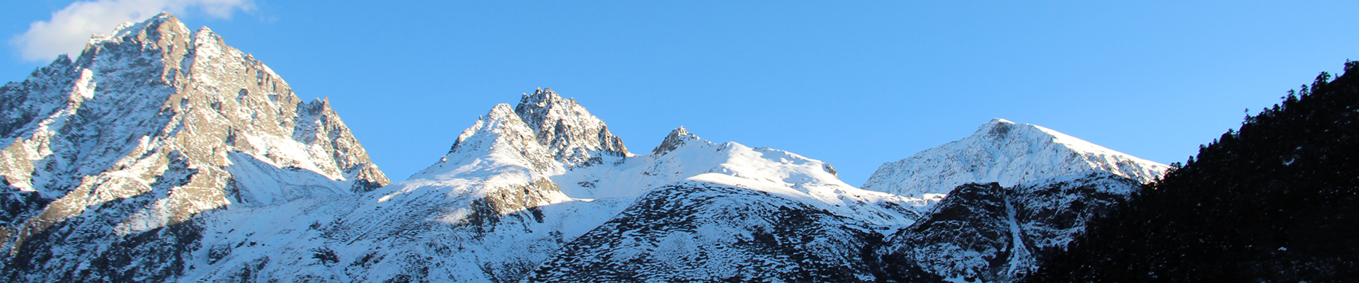


Photo by Ma Chunlin
A team from the Second Tibetan Plateau Scientific Expedition and Research (STEP) has made an essential contribution to our knowledge of the mean snow depth on Mount Qomolangma.
The researchers applied a novel approach to using ground-penetrating radar (GPR) technology, by starting measurements from exposed limestone at a lower elevation point, thus resulting in more accurate readings. Based on this new method, the scientists calculated a snow depth of 9.5 ± 1.2 meters at the summit, considerably different from previous estimates of 0.9 to 3.5 meters.
The study was published in The Cryosphere on July 6.
The team gathered these data during the STEP “summit mission” that took place from April to May in 2022. They used a Sensor & Software Pulse EKKO Pro GPR system—equipped with a single transmitter-receiver antenna and specially adapted to endure Qomolangma’s harsh conditions—in order to ensure precise measurements of the summit’s snow depth.
Prof. YANG Wei, the study’s lead author and a researcher from the Institute of Tibetan Plateau Research of the Chinese Academy of Sciences, emphasized the value of the new method: “Our innovative approach allowed us to discern more accurately the boundaries between the snow and rock, refining our understanding of the actual rock height of Mount Qomolangma beneath its snowy summit.”
The expedition’s chief scientist, Prof. YAO Tandong, also emphasized the importance of this research: “This finding uncovers more than just snow depth-it opens a path towards a deeper understanding of our planet and the impacts of climate change at high altitudes on the Earth.”
Mount Qomolangma’s snow depth is indeed a critical climate marker. Changes in snow accumulation and drift, driven by weather variations, significantly influence total snow depth. With the new, enhanced measurement, scientists can now delve deeper into studying climatic interactions.
Prof. YANG Wei noted that the STEP team plans to continue leveraging this innovative radar method to study snow stratigraphy and snowpack properties on Mount Qomolangma’s summit. These investigations will help us more accurately grasp the impact of human-induced climate change on the world’s most extreme environments.